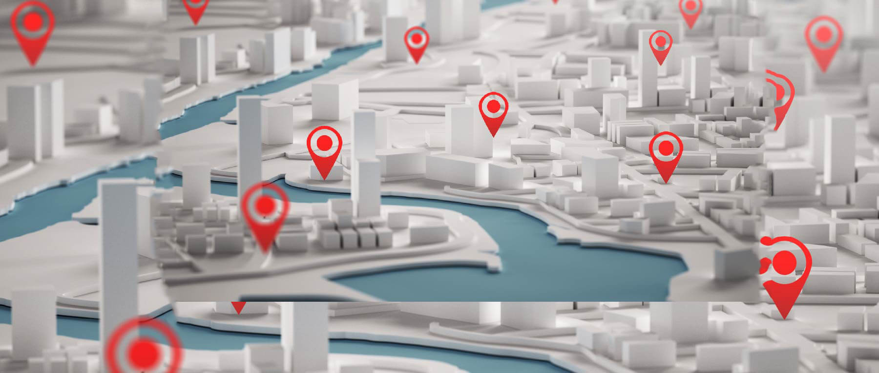
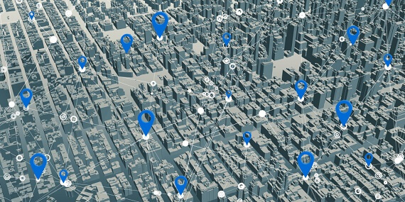
(i)City
PASSIONATE ABOUT CREATING COMPELLING 3D TECHNOLOGY TO FACE REAL-WORLD CHALLENGES.
Advanced 3D Visualization Engine
Real-time Interactivity
Orthorectified Satellite Imagery
Scenery Engine & Solar Depiction Engine
Advanced Shader Technology
Sound Attenuation Model + DirectX 3D
Interoperability with various GIS Platforms
360º View with Zero Blind Spots
Urban, Town and Architectural view
Project or Facility Overview
Services Training and Simulation
Asset Tracking and Management
Disaster Response Planning
Capture Geo-referenced, Time-Stamped Point Clouds and imagery
3D Scanning of Roadside Features
360º Camera for Spherical Image Capture
Dual Frequency GNSS Tracking
High Accuracy 6-Axis IMU
Integration
External Wheel Encoders for Odometer and Tracking
External Walkthrough, Flythrough, Drive-through Optionsheel Encoders for Odometer and Tracking